Holly Road, Broom
Introduction
The photograph on this page of Holly Road, Broom by Richard Law as part of the Geograph project.
The Geograph project started in 2005 with the aim of publishing, organising and preserving representative images for every square kilometre of Great Britain, Ireland and the Isle of Man.

There are currently over 7.5m images from over 14,400 individuals and you can help contribute to the project by visiting https://www.geograph.org.uk
Holly Road, Broom
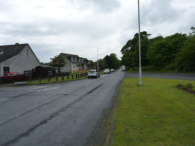
Image: © Richard Law Taken: 5 Jun 2019
On the northern edge of the Broom housing estate, Holly Road runs alongside Kirkquharnon Wood, here on the right.
Images are licensed for reuse under creativecommons.org/licenses/by-sa/2.0
Image Location
Latitude
56.206651
Longitude
-3.00892