Blakeway Hollow
Introduction
The photograph on this page of Blakeway Hollow by Richard Webb as part of the Geograph project.
The Geograph project started in 2005 with the aim of publishing, organising and preserving representative images for every square kilometre of Great Britain, Ireland and the Isle of Man.

There are currently over 7.5m images from over 14,400 individuals and you can help contribute to the project by visiting https://www.geograph.org.uk
Blakeway Hollow
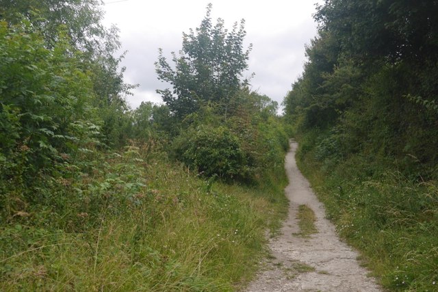
Image: © Richard Webb Taken: 21 Jul 2019
A green lane leading up to Wenlock Edge from Much Wenlock. How we got the minibus up it when working here in the 1980's? It is firm floored, down to slabby limestone bedrock.
Images are licensed for reuse under creativecommons.org/licenses/by-sa/2.0
Image Location


Leaflet Map data © OpenStreetMap
Latitude
52.59278
Longitude
-2.579068