Building Site on Ryeish Lane
Introduction
The photograph on this page of Building Site on Ryeish Lane by Des Blenkinsopp as part of the Geograph project.
The Geograph project started in 2005 with the aim of publishing, organising and preserving representative images for every square kilometre of Great Britain, Ireland and the Isle of Man.

There are currently over 7.5m images from over 14,400 individuals and you can help contribute to the project by visiting https://www.geograph.org.uk
Building Site on Ryeish Lane
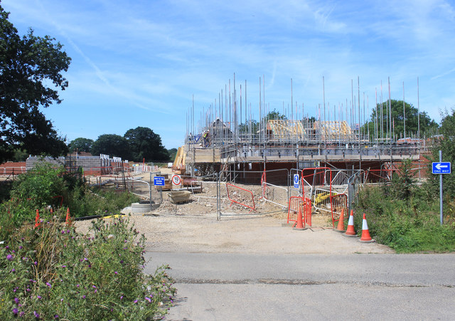
Image: © Des Blenkinsopp Taken: 24 Jul 2019
This square is currently a large building site as the remaining fields between Shinfield and Spencers Wood are being covered with housing.
Images are licensed for reuse under creativecommons.org/licenses/by-sa/2.0
Image Location
Latitude
51.399055
Longitude
-0.962105