Gallowgate railway station (site), Glasgow
Introduction
The photograph on this page of Gallowgate railway station (site), Glasgow by Nigel Thompson as part of the Geograph project.
The Geograph project started in 2005 with the aim of publishing, organising and preserving representative images for every square kilometre of Great Britain, Ireland and the Isle of Man.

There are currently over 7.5m images from over 14,400 individuals and you can help contribute to the project by visiting https://www.geograph.org.uk
Gallowgate railway station (site), Glasgow
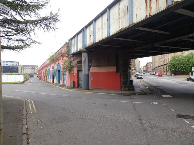
Image: © Nigel Thompson Taken: 29 Apr 2019
Opened in 1870 by the City of Glasgow Union Railway on the line from Springburn to Shields Road, this station closed in 1902 and was later demolished. View south west on what is now Molendinar Street, previously Nile Street, towards Gallowgate. The station platforms were up on the viaduct. One of the station entrances was in the foreground.
Images are licensed for reuse under creativecommons.org/licenses/by-sa/2.0
Image Location
Latitude
55.856498
Longitude
-4.240581