View from St Mary the Virgin's churchyard
Introduction
The photograph on this page of View from St Mary the Virgin's churchyard by Oliver Dixon as part of the Geograph project.
The Geograph project started in 2005 with the aim of publishing, organising and preserving representative images for every square kilometre of Great Britain, Ireland and the Isle of Man.

There are currently over 7.5m images from over 14,400 individuals and you can help contribute to the project by visiting https://www.geograph.org.uk
View from St Mary the Virgin's churchyard
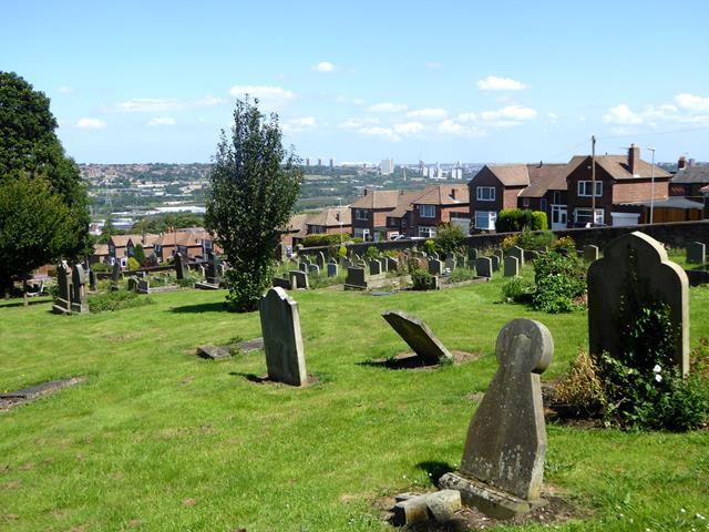
Image: © Oliver Dixon Taken: 24 Jul 2019
Looking over the lower end of the churchyard beyond the houses on Park Drive to the dreaming spires of Newcastle on the far side of the Tyne.
Images are licensed for reuse under creativecommons.org/licenses/by-sa/2.0
Image Location
Latitude
54.947626
Longitude
-1.673368