The lane below Broadwell House
Introduction
The photograph on this page of The lane below Broadwell House by Andrew Smith as part of the Geograph project.
The Geograph project started in 2005 with the aim of publishing, organising and preserving representative images for every square kilometre of Great Britain, Ireland and the Isle of Man.

There are currently over 7.5m images from over 14,400 individuals and you can help contribute to the project by visiting https://www.geograph.org.uk
The lane below Broadwell House
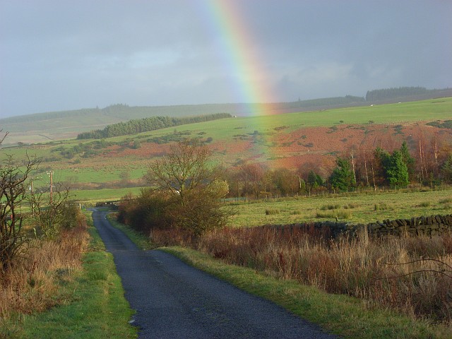
Image: © Andrew Smith Taken: 24 Nov 2007
The cul-de-sac gives access to Greenways, which is beside the nearby copse, and Hackford. The view looks across the valley of Devil's Water towards Embley Fell.
Images are licensed for reuse under creativecommons.org/licenses/by-sa/2.0
Image Location
Latitude
54.879431
Longitude
-2.12777