Llwybr beicio ger Tumble / Cycle path near Tumble
Introduction
The photograph on this page of Llwybr beicio ger Tumble / Cycle path near Tumble by Alan Richards as part of the Geograph project.
The Geograph project started in 2005 with the aim of publishing, organising and preserving representative images for every square kilometre of Great Britain, Ireland and the Isle of Man.

There are currently over 7.5m images from over 14,400 individuals and you can help contribute to the project by visiting https://www.geograph.org.uk
Llwybr beicio ger Tumble / Cycle path near Tumble
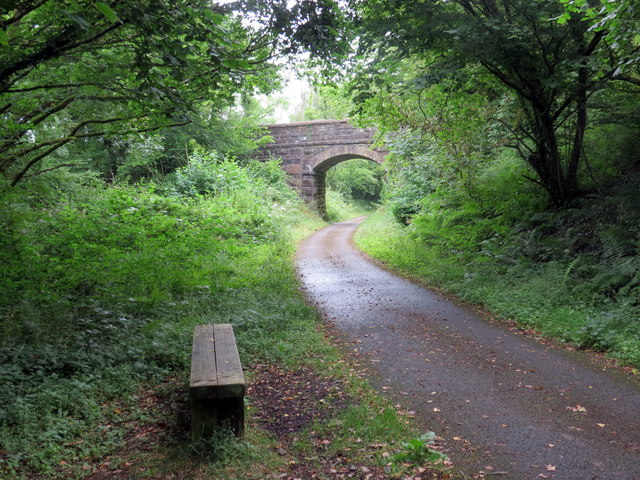
Image: © Alan Richards Taken: 24 Jul 2019
Mainc ar ochr llwybr beicio a chyn rheilfordd yn mynd i gyfeiriad pentref Tumble. A bench alongside a cycle path and former railway heading in the direction of Tumble village.
Images are licensed for reuse under creativecommons.org/licenses/by-sa/2.0
Image Location
Latitude
51.774295
Longitude
-4.140153