Approaching Veensgarth,
Introduction
The photograph on this page of Approaching Veensgarth, by David Dixon as part of the Geograph project.
The Geograph project started in 2005 with the aim of publishing, organising and preserving representative images for every square kilometre of Great Britain, Ireland and the Isle of Man.

There are currently over 7.5m images from over 14,400 individuals and you can help contribute to the project by visiting https://www.geograph.org.uk
Approaching Veensgarth,
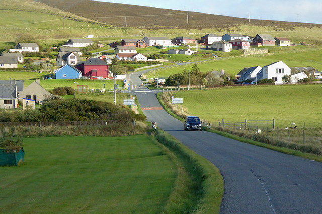
Image: © David Dixon Taken: 23 Sep 2018
Veensgarth (from the Old Norse: Vikingsgarðr meaning Viking farm, or Vingarðr meaning Meadow Farm), is a village in the Tingwall valley west of Lerwick in Shetland. It is situated at the junction of the A970 and the B9074.
Images are licensed for reuse under creativecommons.org/licenses/by-sa/2.0
Image Location
Latitude
60.183049
Longitude
-1.232023