Written Stone Lane
Introduction
The photograph on this page of Written Stone Lane by philandju as part of the Geograph project.
The Geograph project started in 2005 with the aim of publishing, organising and preserving representative images for every square kilometre of Great Britain, Ireland and the Isle of Man.

There are currently over 7.5m images from over 14,400 individuals and you can help contribute to the project by visiting https://www.geograph.org.uk
Written Stone Lane
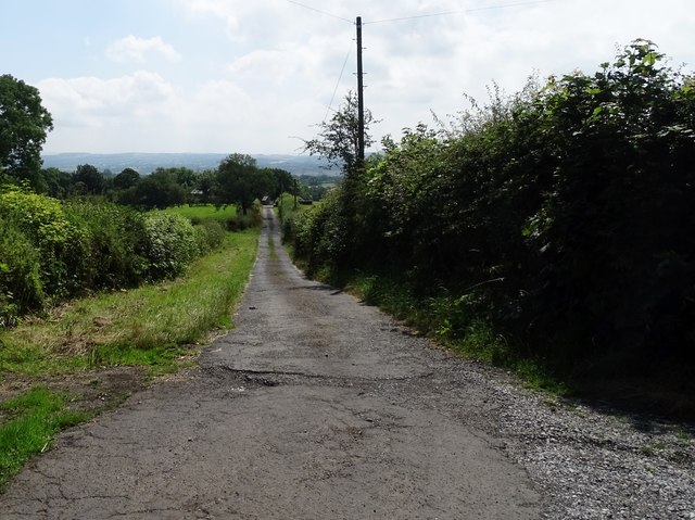
Image: © philandju Taken: 24 Jul 2019
The lane connects two farms - Written Stone Farm and Cottam House Farm - to Lower Road outside Longridge
Images are licensed for reuse under creativecommons.org/licenses/by-sa/2.0
Image Location
Latitude
53.835554
Longitude
-2.568728