Footpath to Bentley station
Introduction
The photograph on this page of Footpath to Bentley station by Graham Horn as part of the Geograph project.
The Geograph project started in 2005 with the aim of publishing, organising and preserving representative images for every square kilometre of Great Britain, Ireland and the Isle of Man.

There are currently over 7.5m images from over 14,400 individuals and you can help contribute to the project by visiting https://www.geograph.org.uk
Footpath to Bentley station
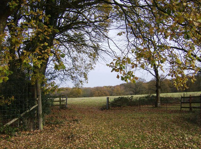
Image: © Graham Horn Taken: 25 Nov 2007
In the north-western part of the square, this footpath heads downhill through grazing land towards Bentley station keeping the small wood to its left.
Images are licensed for reuse under creativecommons.org/licenses/by-sa/2.0
Image Location
Latitude
51.179229
Longitude
-0.868476