Coast path above Caer Bwdy Bay
Introduction
The photograph on this page of Coast path above Caer Bwdy Bay by Stephen McKay as part of the Geograph project.
The Geograph project started in 2005 with the aim of publishing, organising and preserving representative images for every square kilometre of Great Britain, Ireland and the Isle of Man.

There are currently over 7.5m images from over 14,400 individuals and you can help contribute to the project by visiting https://www.geograph.org.uk
Coast path above Caer Bwdy Bay
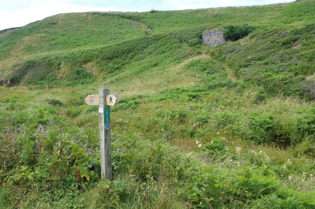
Image: © Stephen McKay Taken: 18 Jul 2019
The coast path heads through a sea of gorse and bracken along the cliff tops of the south side of the St David's peninsula.
Images are licensed for reuse under creativecommons.org/licenses/by-sa/2.0
Image Location
Latitude
51.874061
Longitude
-5.245624