Water Lane, Angmering
Introduction
The photograph on this page of Water Lane, Angmering by G Laird as part of the Geograph project.
The Geograph project started in 2005 with the aim of publishing, organising and preserving representative images for every square kilometre of Great Britain, Ireland and the Isle of Man.

There are currently over 7.5m images from over 14,400 individuals and you can help contribute to the project by visiting https://www.geograph.org.uk
Water Lane, Angmering
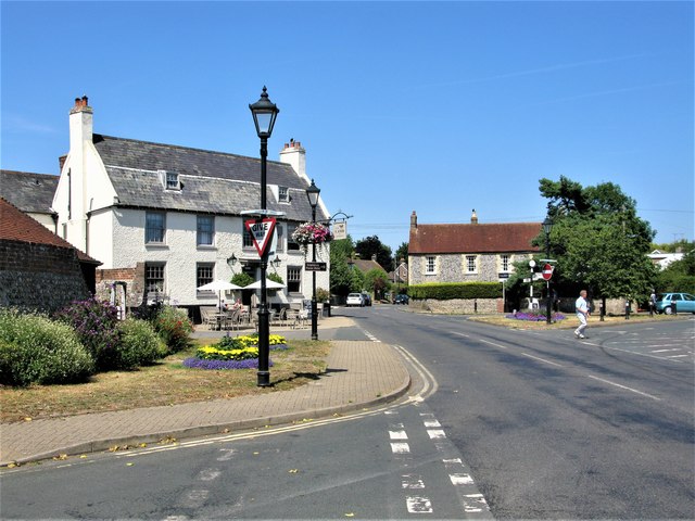
Image: © G Laird Taken: 16 Jul 2019
Angmering is a large village between Littlehampton and Worthing just to the south of the A27 and about 1½ miles north of the English Channel. This view is at the junction of Arundel Road (left) and High Street (right).
Images are licensed for reuse under creativecommons.org/licenses/by-sa/2.0
Image Location
Latitude
50.829014
Longitude
-0.484065