Scrapyard in Burslem
Introduction
The photograph on this page of Scrapyard in Burslem by David Weston as part of the Geograph project.
The Geograph project started in 2005 with the aim of publishing, organising and preserving representative images for every square kilometre of Great Britain, Ireland and the Isle of Man.

There are currently over 7.5m images from over 14,400 individuals and you can help contribute to the project by visiting https://www.geograph.org.uk
Scrapyard in Burslem
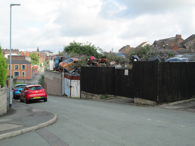
Image: © David Weston Taken: 18 Jul 2019
Viewed from the junction of Clyde Road and Commercial Street, a short distance south of the town centre. The clock tower of the Old Hall in Burslem can be seen in the distance.
Images are licensed for reuse under creativecommons.org/licenses/by-sa/2.0
Image Location
Latitude
53.041083
Longitude
-2.193699