Furzy Field/Site of Furzy Shaw/Great Furzy Field
Introduction
The photograph on this page of Furzy Field/Site of Furzy Shaw/Great Furzy Field by Simon Carey as part of the Geograph project.
The Geograph project started in 2005 with the aim of publishing, organising and preserving representative images for every square kilometre of Great Britain, Ireland and the Isle of Man.

There are currently over 7.5m images from over 14,400 individuals and you can help contribute to the project by visiting https://www.geograph.org.uk
Furzy Field/Site of Furzy Shaw/Great Furzy Field
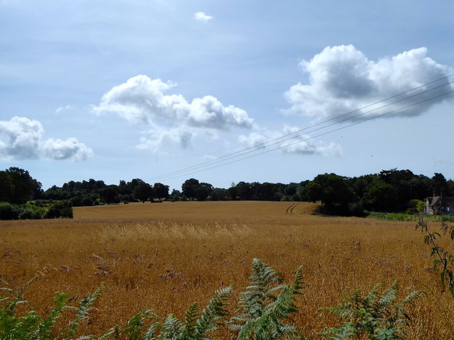
Image: © Simon Carey Taken: 21 Jul 2019
The name of the fields according to Peasmarsh's 1840 tithe map that have been merged to form a single unit. Furzy Field was in the foreground, Great Furzy Field can be seen on the slope in the distance whilst somewhere in the dip was Furzy Shaw which had been grubbed by the 1872 OS map. The house on the right is Wintons. The field is bounded to the west and south by Tanhouse Lane.
Images are licensed for reuse under creativecommons.org/licenses/by-sa/2.0
Image Location
Latitude
50.972853
Longitude
0.676125