Up the B4571, Adpar, Ceredigion
Introduction
The photograph on this page of Up the B4571, Adpar, Ceredigion by Jaggery as part of the Geograph project.
The Geograph project started in 2005 with the aim of publishing, organising and preserving representative images for every square kilometre of Great Britain, Ireland and the Isle of Man.

There are currently over 7.5m images from over 14,400 individuals and you can help contribute to the project by visiting https://www.geograph.org.uk
Up the B4571, Adpar, Ceredigion
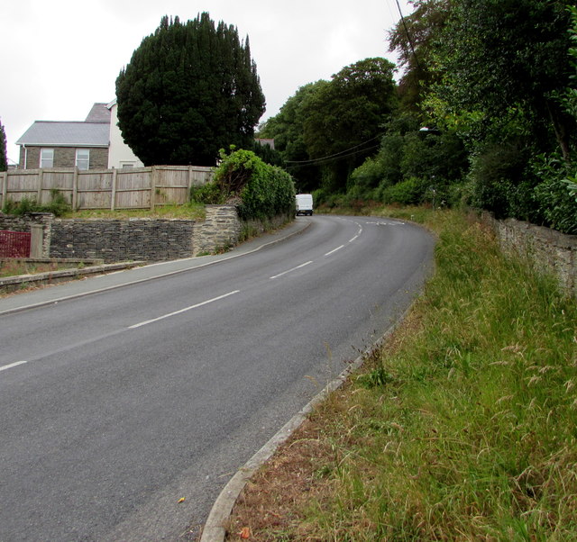
Image: © Jaggery Taken: 13 Jul 2019
Ascending from the valley of the Afon Teifi and Newcastle Emlyn in Carmarthenshire, the B4571 leads to the A486 at Ffostrasol about 9km ahead.
Images are licensed for reuse under creativecommons.org/licenses/by-sa/2.0
Image Location


Leaflet Map data © OpenStreetMap
Latitude
52.042092
Longitude
-4.466308