Bluebells in Bredicot Rough
Introduction
The photograph on this page of Bluebells in Bredicot Rough by Richard Dunn as part of the Geograph project.
The Geograph project started in 2005 with the aim of publishing, organising and preserving representative images for every square kilometre of Great Britain, Ireland and the Isle of Man.

There are currently over 7.5m images from over 14,400 individuals and you can help contribute to the project by visiting https://www.geograph.org.uk
Bluebells in Bredicot Rough
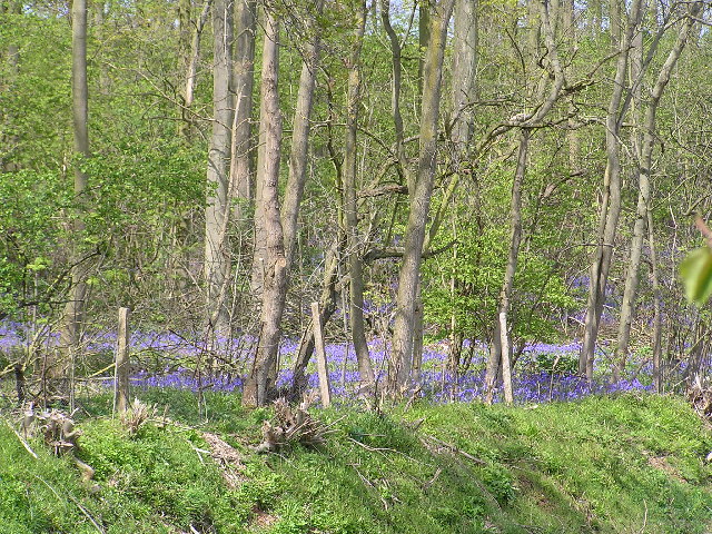
Image: © Richard Dunn Taken: 29 Apr 2005
There is a mass of bluebells in here this year, the edge of the railway embankment can just be seen.
Images are licensed for reuse under creativecommons.org/licenses/by-sa/2.0
Image Location


Leaflet Map data © OpenStreetMap
Latitude
52.18866
Longitude
-2.14038