Terrace, St Werburgh's
Introduction
The photograph on this page of Terrace, St Werburgh's by Derek Harper as part of the Geograph project.
The Geograph project started in 2005 with the aim of publishing, organising and preserving representative images for every square kilometre of Great Britain, Ireland and the Isle of Man.

There are currently over 7.5m images from over 14,400 individuals and you can help contribute to the project by visiting https://www.geograph.org.uk
Terrace, St Werburgh's
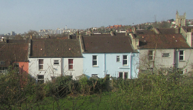
Image: © Derek Harper Taken: 1 Apr 2019
Houses on St Werburgh's Park seen from the railway line between Montpelier and Stapledon Road. On the right is the tower of St Werburgh's church https://historicengland.org.uk/listing/the-list/list-entry/1025007 .
Images are licensed for reuse under creativecommons.org/licenses/by-sa/2.0
Image Location
Latitude
51.471928
Longitude
-2.57383