Richmond, Watermans Arms
Introduction
The photograph on this page of Richmond, Watermans Arms by Mike Faherty as part of the Geograph project.
The Geograph project started in 2005 with the aim of publishing, organising and preserving representative images for every square kilometre of Great Britain, Ireland and the Isle of Man.

There are currently over 7.5m images from over 14,400 individuals and you can help contribute to the project by visiting https://www.geograph.org.uk
Richmond, Watermans Arms
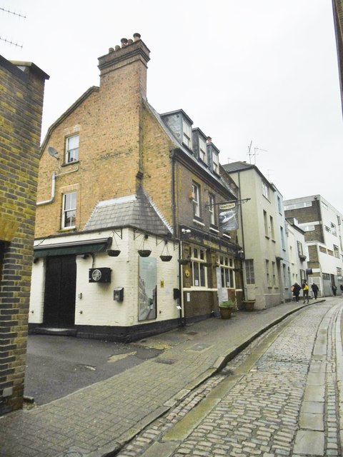
Image: © Mike Faherty Taken: 19 Jul 2019
Closed public house on Water Lane; until this year, in the Good Beer Guide. https://whatpub.com/pubs/HOU/6806/watermans-arms-richmond
Images are licensed for reuse under creativecommons.org/licenses/by-sa/2.0
Image Location
Latitude
51.459317
Longitude
-0.307095