Albury: Church Lane
Introduction
The photograph on this page of Albury: Church Lane by Stefan Czapski as part of the Geograph project.
The Geograph project started in 2005 with the aim of publishing, organising and preserving representative images for every square kilometre of Great Britain, Ireland and the Isle of Man.

There are currently over 7.5m images from over 14,400 individuals and you can help contribute to the project by visiting https://www.geograph.org.uk
Albury: Church Lane
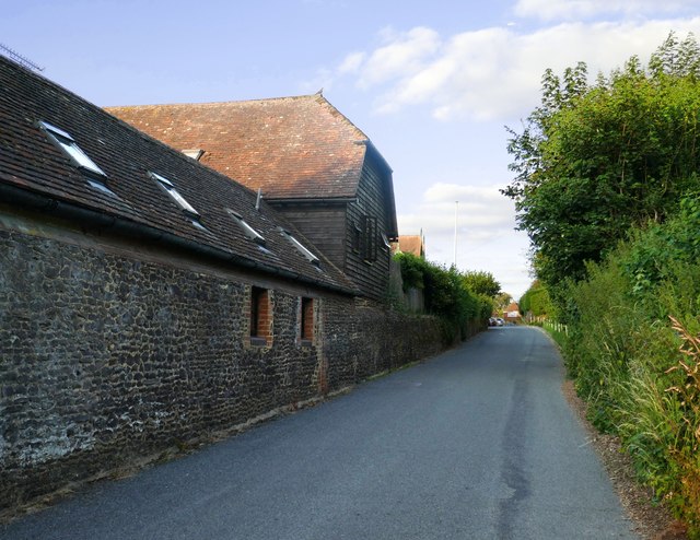
Image: © Stefan Czapski Taken: 15 Jul 2019
View eastward, from a point near the junction with Blackheath Lane. On the left, stone-built converted farm buildings.
Images are licensed for reuse under creativecommons.org/licenses/by-sa/2.0
Image Location
Latitude
51.218413
Longitude
-0.498661