Fair View, Ashvale, Tredegar
Introduction
The photograph on this page of Fair View, Ashvale, Tredegar by Jaggery as part of the Geograph project.
The Geograph project started in 2005 with the aim of publishing, organising and preserving representative images for every square kilometre of Great Britain, Ireland and the Isle of Man.

There are currently over 7.5m images from over 14,400 individuals and you can help contribute to the project by visiting https://www.geograph.org.uk
Fair View, Ashvale, Tredegar
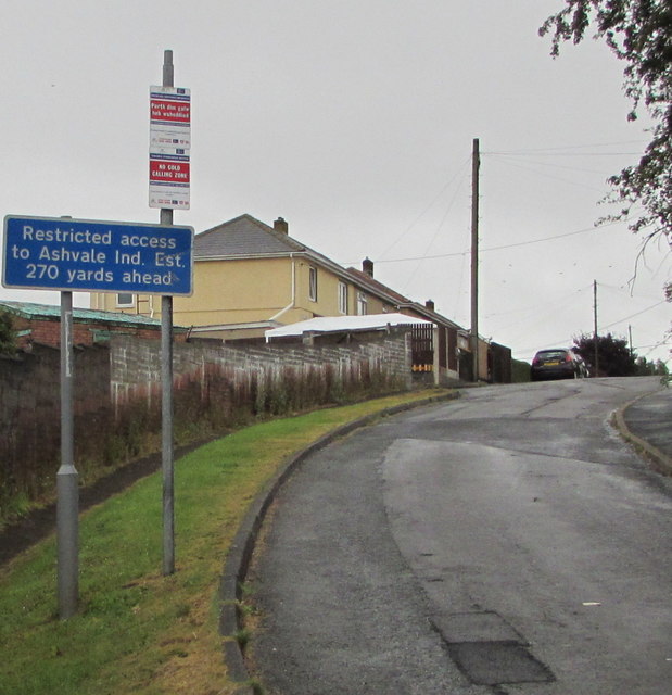
Image: © Jaggery Taken: 19 Jul 2019
Fair View ascends away from the road named Ashvale in the Ashvale area of Tredegar. The white-on-blue sign shows Restricted access to Ashvale Ind(ustrial) Est(ate) 270 yards ahead.
Images are licensed for reuse under creativecommons.org/licenses/by-sa/2.0
Image Location
Latitude
51.784184
Longitude
-3.256822