Loch Alsh
Introduction
The photograph on this page of Loch Alsh by Gordon Hatton as part of the Geograph project.
The Geograph project started in 2005 with the aim of publishing, organising and preserving representative images for every square kilometre of Great Britain, Ireland and the Isle of Man.

There are currently over 7.5m images from over 14,400 individuals and you can help contribute to the project by visiting https://www.geograph.org.uk
Loch Alsh
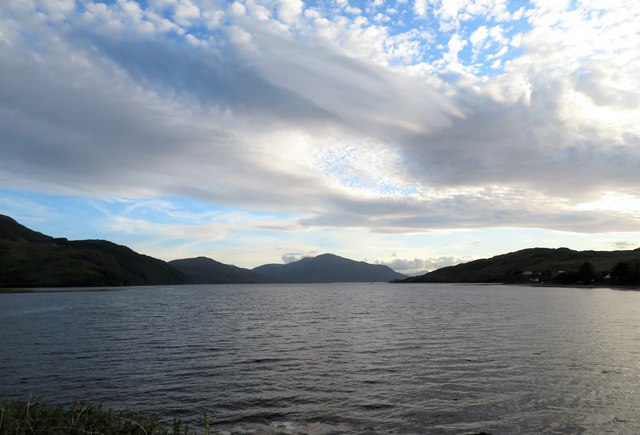
Image: © Gordon Hatton Taken: 21 Jun 2019
The waters of Loch Duich and Loch Long combine at Ardelve to form Loch Alsh. The view is westwards towards the open sea, but with the hills of the eastern end of Skye blocking the western horizon.
Images are licensed for reuse under creativecommons.org/licenses/by-sa/2.0
Image Location
Latitude
57.279249
Longitude
-5.525143