Over the bypass [2]
Introduction
The photograph on this page of Over the bypass [2] by Michael Dibb as part of the Geograph project.
The Geograph project started in 2005 with the aim of publishing, organising and preserving representative images for every square kilometre of Great Britain, Ireland and the Isle of Man.

There are currently over 7.5m images from over 14,400 individuals and you can help contribute to the project by visiting https://www.geograph.org.uk
Over the bypass [2]
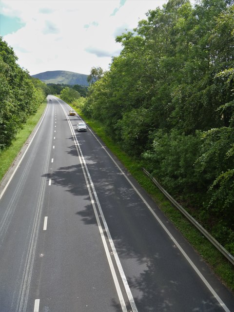
Image: © Michael Dibb Taken: 20 Jun 2019
The A66 Kendal Bypass, looking east, seen from the bridge carrying Spoonygreen Lane. The lane is a public bridleway, part of the long distance Cumbria Way which runs 70 miles (112 km) from Carlisle to Ulverston.
Images are licensed for reuse under creativecommons.org/licenses/by-sa/2.0
Image Location
Latitude
54.608114
Longitude
-3.131859