Chaddlewood House
Introduction
The photograph on this page of Chaddlewood House by Nigel Mole as part of the Geograph project.
The Geograph project started in 2005 with the aim of publishing, organising and preserving representative images for every square kilometre of Great Britain, Ireland and the Isle of Man.

There are currently over 7.5m images from over 14,400 individuals and you can help contribute to the project by visiting https://www.geograph.org.uk
Chaddlewood House
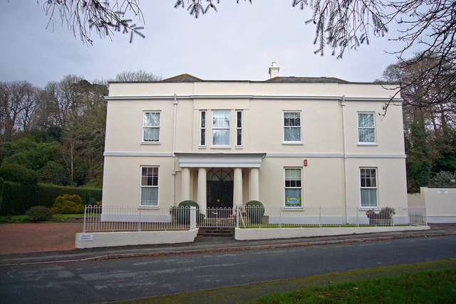
Image: © Nigel Mole Taken: 25 Nov 2007
This former mansion House was originally set in extensive parkland, which also contained Chaddlewood Farm. In recent times it was used as a prisoner of war camp during World War 2 and it is now divided into retirement apartments.
Images are licensed for reuse under creativecommons.org/licenses/by-sa/2.0
Image Location
Latitude
50.386809
Longitude
-4.02865