West end of the Horsforth Vale estate
Introduction
The photograph on this page of West end of the Horsforth Vale estate by Stephen Craven as part of the Geograph project.
The Geograph project started in 2005 with the aim of publishing, organising and preserving representative images for every square kilometre of Great Britain, Ireland and the Isle of Man.

There are currently over 7.5m images from over 14,400 individuals and you can help contribute to the project by visiting https://www.geograph.org.uk
West end of the Horsforth Vale estate
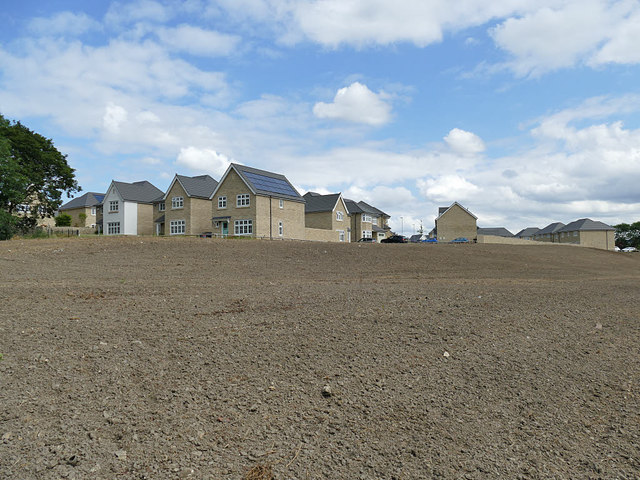
Image: © Stephen Craven Taken: 14 Jul 2019
These latest houses are named Riverside View; the photo is taken from just off the riverside path, so not an unreasonable name. The area in the foreground looks to have been recently finished with topsoil and is presumably intended to be green open space going down to the river.
Images are licensed for reuse under creativecommons.org/licenses/by-sa/2.0
Image Location
Latitude
53.833667
Longitude
-1.67115