Public footpath towards Holt Copse
Introduction
The photograph on this page of Public footpath towards Holt Copse by Vieve Forward as part of the Geograph project.
The Geograph project started in 2005 with the aim of publishing, organising and preserving representative images for every square kilometre of Great Britain, Ireland and the Isle of Man.

There are currently over 7.5m images from over 14,400 individuals and you can help contribute to the project by visiting https://www.geograph.org.uk
Public footpath towards Holt Copse
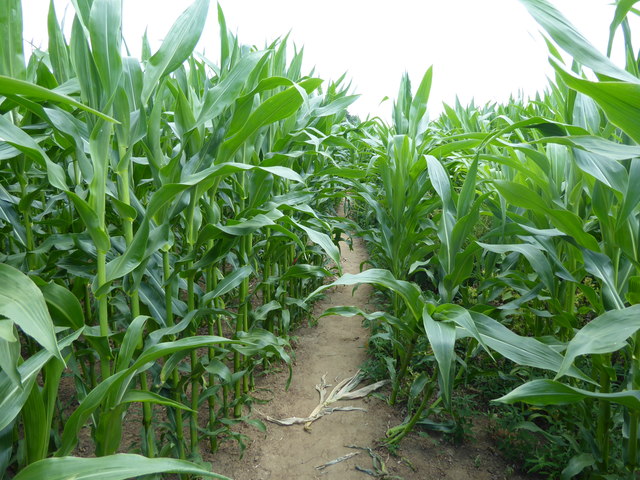
Image: © Vieve Forward Taken: 16 Jul 2019
The map shows the footpath going around the edge of the field, but this well-worn path goes through the maize itself.
Images are licensed for reuse under creativecommons.org/licenses/by-sa/2.0
Image Location
Latitude
51.70361
Longitude
-1.367723