Upper Barn Field
Introduction
The photograph on this page of Upper Barn Field by Simon Carey as part of the Geograph project.
The Geograph project started in 2005 with the aim of publishing, organising and preserving representative images for every square kilometre of Great Britain, Ireland and the Isle of Man.

There are currently over 7.5m images from over 14,400 individuals and you can help contribute to the project by visiting https://www.geograph.org.uk
Upper Barn Field
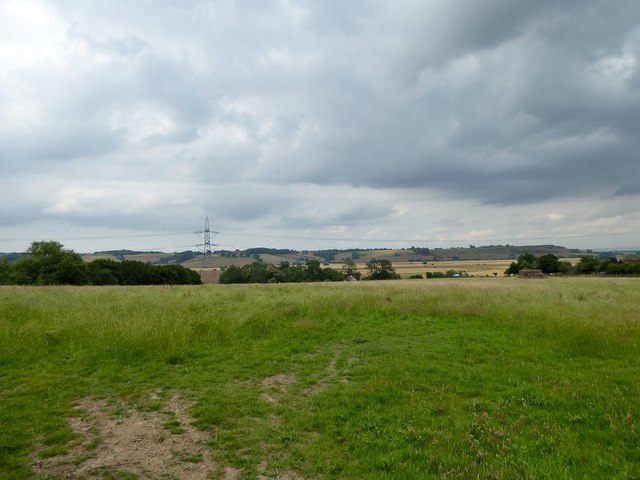
Image: © Simon Carey Taken: 13 Jul 2019
The name of the field according to Iden's 1842 tithe map located to the west of Thornsdale Farm. The eastern end of the Isle of Oxney can be seen in the distance.
Images are licensed for reuse under creativecommons.org/licenses/by-sa/2.0
Image Location
Latitude
50.992147
Longitude
0.740085