Fairfield Road, Stockton
Introduction
The photograph on this page of Fairfield Road, Stockton by Graham Robson as part of the Geograph project.
The Geograph project started in 2005 with the aim of publishing, organising and preserving representative images for every square kilometre of Great Britain, Ireland and the Isle of Man.

There are currently over 7.5m images from over 14,400 individuals and you can help contribute to the project by visiting https://www.geograph.org.uk
Fairfield Road, Stockton
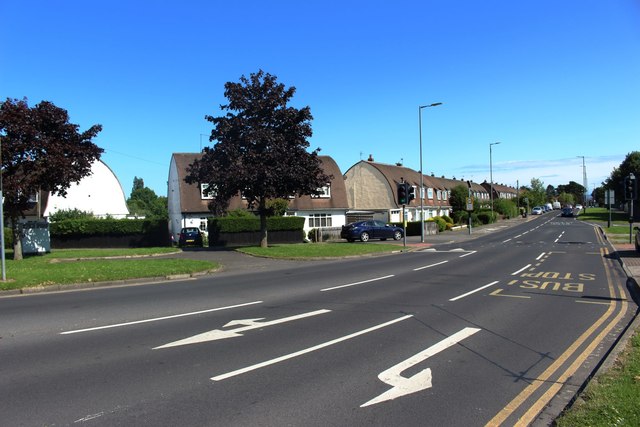
Image: © Graham Robson Taken: 6 Jul 2019
Looking up Fairfield Road from its junction with Bishopton Road West. The houses on the left side of the road feature an interestingly shaped upper storey and roof.
Images are licensed for reuse under creativecommons.org/licenses/by-sa/2.0
Image Location
Latitude
54.569115
Longitude
-1.359323