Garvald Street
Introduction
The photograph on this page of Garvald Street by Thomas Nugent as part of the Geograph project.
The Geograph project started in 2005 with the aim of publishing, organising and preserving representative images for every square kilometre of Great Britain, Ireland and the Isle of Man.

There are currently over 7.5m images from over 14,400 individuals and you can help contribute to the project by visiting https://www.geograph.org.uk
Garvald Street
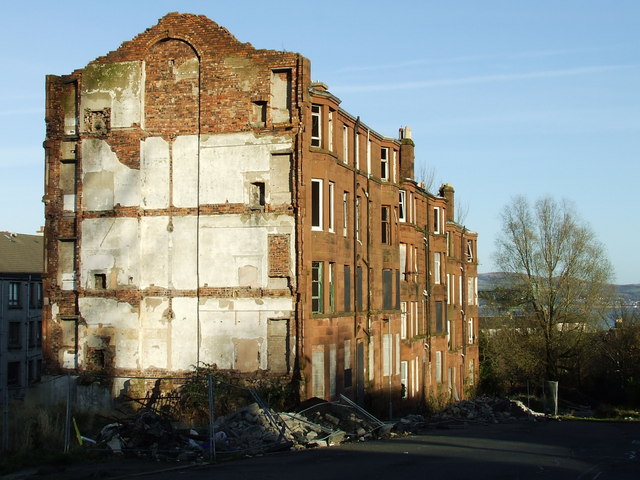
Image: © Thomas Nugent Taken: 23 Nov 2007
This derelict row of tenements is all that remains of Garvald Street. The tenement was demolished by the time of my next visit in 2013 Image See the same scene with new houses in 2020 Image
Images are licensed for reuse under creativecommons.org/licenses/by-sa/2.0
Image Location
Latitude
55.941176
Longitude
-4.737764