Strathkelvin Railway Path
Introduction
The photograph on this page of Strathkelvin Railway Path by Richard Sutcliffe as part of the Geograph project.
The Geograph project started in 2005 with the aim of publishing, organising and preserving representative images for every square kilometre of Great Britain, Ireland and the Isle of Man.

There are currently over 7.5m images from over 14,400 individuals and you can help contribute to the project by visiting https://www.geograph.org.uk
Strathkelvin Railway Path
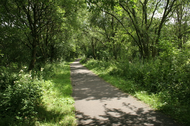
Image: © Richard Sutcliffe Taken: 14 Jul 2019
The path along the old railway line runs from Gartcosh to Strathblane. This section is part of the former Campsie Branch (Edinburgh and Glasgow Railway) which opened in 1848 and finally closed in 1966.
Images are licensed for reuse under creativecommons.org/licenses/by-sa/2.0
Image Location
Latitude
55.962589
Longitude
-4.157786