The B4226 Poolway Road and a defaced milestone
Introduction
The photograph on this page of The B4226 Poolway Road and a defaced milestone by John S Turner as part of the Geograph project.
The Geograph project started in 2005 with the aim of publishing, organising and preserving representative images for every square kilometre of Great Britain, Ireland and the Isle of Man.

There are currently over 7.5m images from over 14,400 individuals and you can help contribute to the project by visiting https://www.geograph.org.uk
The B4226 Poolway Road and a defaced milestone
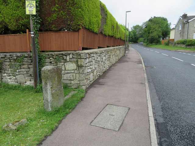
Image: © John S Turner Taken: 12 Jun 2019
Looking east along Poolway Road, Coleford with a defaced milestone on the left. The stone is marked as 'Defaced' as far back at 1878: Image There is an Ordnance Survey bench mark on the west face, facing the camera: Image Milestone Society National ID: GL_ELCO09
Images are licensed for reuse under creativecommons.org/licenses/by-sa/2.0
Image Location


Leaflet Map data © OpenStreetMap
Latitude
51.797779
Longitude
-2.608701