Wilford Fields: new houses
Introduction
The photograph on this page of Wilford Fields: new houses by John Sutton as part of the Geograph project.
The Geograph project started in 2005 with the aim of publishing, organising and preserving representative images for every square kilometre of Great Britain, Ireland and the Isle of Man.

There are currently over 7.5m images from over 14,400 individuals and you can help contribute to the project by visiting https://www.geograph.org.uk
Wilford Fields: new houses
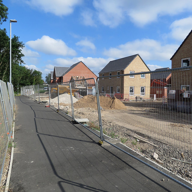
Image: © John Sutton Taken: 15 Jul 2019
Seen from near the Wilford Lane end of the path from Rugby Road and Rushcliffe Arena. Grid references are as accurate as I can judge them as mapping has yet to keep pace with building.
Images are licensed for reuse under creativecommons.org/licenses/by-sa/2.0
Image Location
Latitude
52.925747
Longitude
-1.149851