Disused public conveniences, Evelyn Street, Swindon (2)
Introduction
The photograph on this page of Disused public conveniences, Evelyn Street, Swindon (2) by Brian Robert Marshall as part of the Geograph project.
The Geograph project started in 2005 with the aim of publishing, organising and preserving representative images for every square kilometre of Great Britain, Ireland and the Isle of Man.

There are currently over 7.5m images from over 14,400 individuals and you can help contribute to the project by visiting https://www.geograph.org.uk
Disused public conveniences, Evelyn Street, Swindon (2)
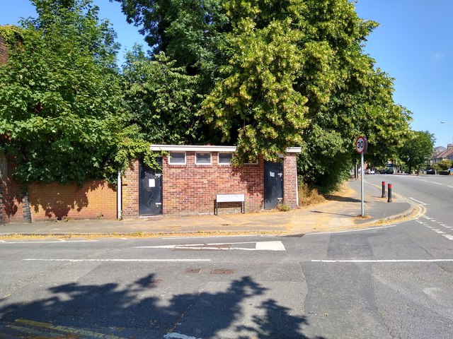
Image: © Brian Robert Marshall Taken: 16 Jul 2019
The conveniences are viewed across Evelyn Street and are located in the brick building in the centre of the image. They have been closed for a long time and are due to be demolished soon. At right is the B4006 Marlborough Road leading into the Old Town area of Swindon.
Images are licensed for reuse under creativecommons.org/licenses/by-sa/2.0
Image Location


Leaflet Map data © OpenStreetMap
Latitude
51.547651
Longitude
-1.771952