Benthall Hall
Introduction
The photograph on this page of Benthall Hall by Philip Halling as part of the Geograph project.
The Geograph project started in 2005 with the aim of publishing, organising and preserving representative images for every square kilometre of Great Britain, Ireland and the Isle of Man.

There are currently over 7.5m images from over 14,400 individuals and you can help contribute to the project by visiting https://www.geograph.org.uk
Benthall Hall
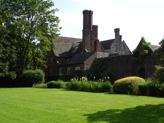
Image: © Philip Halling Taken: 7 Jul 2019
Benthall Hall dates from the late 16th century and is Grade I listed, see: https://historicengland.org.uk/listing/the-list/list-entry/1176832 The house is in the care of the National Trust.
Images are licensed for reuse under creativecommons.org/licenses/by-sa/2.0
Image Location


Leaflet Map data © OpenStreetMap
Latitude
52.620172
Longitude
-2.506459