Meco Alley, St. John's, Worcester
Introduction
The photograph on this page of Meco Alley, St. John's, Worcester by P L Chadwick as part of the Geograph project.
The Geograph project started in 2005 with the aim of publishing, organising and preserving representative images for every square kilometre of Great Britain, Ireland and the Isle of Man.

There are currently over 7.5m images from over 14,400 individuals and you can help contribute to the project by visiting https://www.geograph.org.uk
Meco Alley, St. John's, Worcester
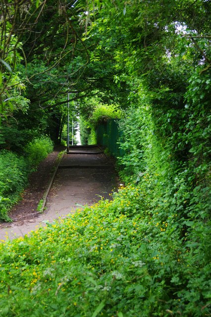
Image: © P L Chadwick Taken: 2 Jun 2018
This section of public footpath is known as Meco Alley. There are some very widely spaced steps, a couple of which can be seen in the distance in this view. The path leads to the centre of the St. John's area, as well as housing developments and a cemetery.
Images are licensed for reuse under creativecommons.org/licenses/by-sa/2.0
Image Location
Latitude
52.18911
Longitude
-2.248628