Public footpath on north side of pedestrian level crossing, St. John's, Worcester
Introduction
The photograph on this page of Public footpath on north side of pedestrian level crossing, St. John's, Worcester by P L Chadwick as part of the Geograph project.
The Geograph project started in 2005 with the aim of publishing, organising and preserving representative images for every square kilometre of Great Britain, Ireland and the Isle of Man.

There are currently over 7.5m images from over 14,400 individuals and you can help contribute to the project by visiting https://www.geograph.org.uk
Public footpath on north side of pedestrian level crossing, St. John's, Worcester
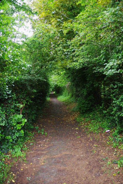
Image: © P L Chadwick Taken: 2 Jun 2018
The path later joins others serving various housing estates and a cemetery.
Images are licensed for reuse under creativecommons.org/licenses/by-sa/2.0
Image Location
Latitude
52.18722
Longitude
-2.249641