Lower Bircher Common
Introduction
The photograph on this page of Lower Bircher Common by Z Pryce as part of the Geograph project.
The Geograph project started in 2005 with the aim of publishing, organising and preserving representative images for every square kilometre of Great Britain, Ireland and the Isle of Man.

There are currently over 7.5m images from over 14,400 individuals and you can help contribute to the project by visiting https://www.geograph.org.uk
Lower Bircher Common
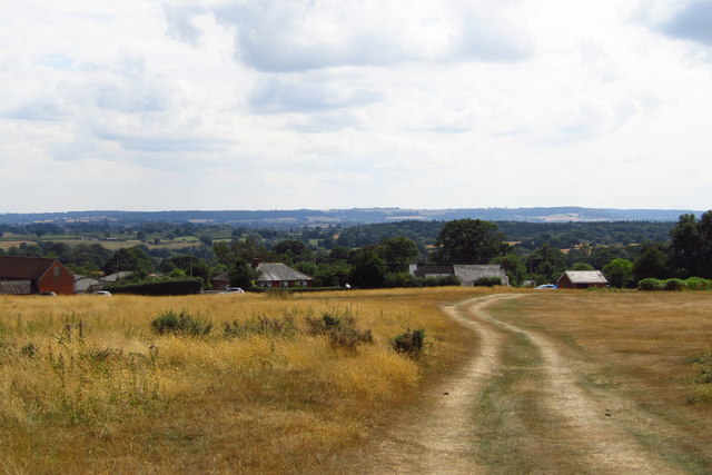
Image: © Z Pryce Taken: 27 Jul 2018
Taken at the height of the scorching heatwave of summer 2018. In the distance, Morgan Hill and Brierley Wood are to the left, and Birley Hill is on the right. Oaker Wood is in the middle distance to the right. Leominster is barely visible in the dip to the left.
Images are licensed for reuse under creativecommons.org/licenses/by-sa/2.0
Image Location
Latitude
52.291418
Longitude
-2.783765