Anchor Road, looking north
Introduction
The photograph on this page of Anchor Road, looking north by Christine Johnstone as part of the Geograph project.
The Geograph project started in 2005 with the aim of publishing, organising and preserving representative images for every square kilometre of Great Britain, Ireland and the Isle of Man.

There are currently over 7.5m images from over 14,400 individuals and you can help contribute to the project by visiting https://www.geograph.org.uk
Anchor Road, looking north
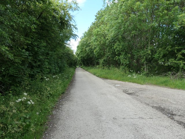
Image: © Christine Johnstone Taken: 21 Jun 2019
This road links the former Anchor Inn on the Erewash Canal to the road network at Langley Mill. It is a fairly new road however, built as part of the development of the A610, which runs alongside [to the right / east].
Images are licensed for reuse under creativecommons.org/licenses/by-sa/2.0
Image Location
Latitude
53.016285
Longitude
-1.319645