Public bridleway towards West House Farm
Introduction
The photograph on this page of Public bridleway towards West House Farm by Graham Robson as part of the Geograph project.
The Geograph project started in 2005 with the aim of publishing, organising and preserving representative images for every square kilometre of Great Britain, Ireland and the Isle of Man.

There are currently over 7.5m images from over 14,400 individuals and you can help contribute to the project by visiting https://www.geograph.org.uk
Public bridleway towards West House Farm
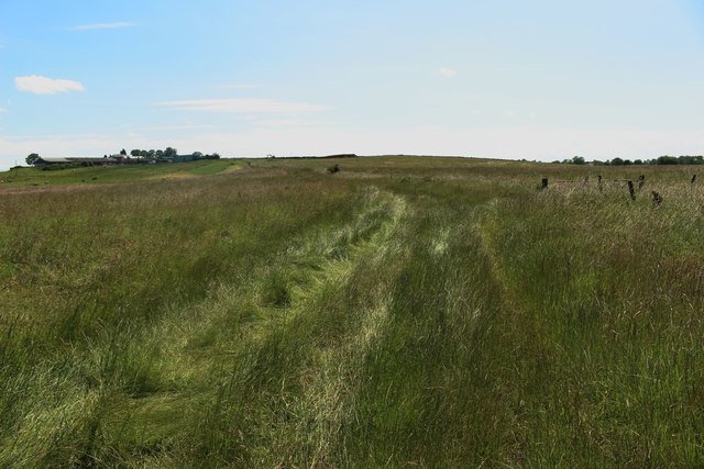
Image: © Graham Robson Taken: 6 Jul 2019
The public bridleway between Stillington and West House Farm follows the edge of a grass field.
Images are licensed for reuse under creativecommons.org/licenses/by-sa/2.0
Image Location
Latitude
54.602514
Longitude
-1.424434