Newmanleys Road swingbridge, Nottingham Canal
Introduction
The photograph on this page of Newmanleys Road swingbridge, Nottingham Canal by Christine Johnstone as part of the Geograph project.
The Geograph project started in 2005 with the aim of publishing, organising and preserving representative images for every square kilometre of Great Britain, Ireland and the Isle of Man.

There are currently over 7.5m images from over 14,400 individuals and you can help contribute to the project by visiting https://www.geograph.org.uk
Newmanleys Road swingbridge, Nottingham Canal
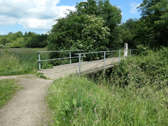
Image: © Christine Johnstone Taken: 21 Jun 2019
Carrying a public footpath from New Eastwood, across the Nottingham Canal down to the Erewash Canal. What a survivor! The canal opened in 1796, fell out of use in the 1920s and was abandoned in 1937.
Images are licensed for reuse under creativecommons.org/licenses/by-sa/2.0
Image Location
Latitude
53.007974
Longitude
-1.312473