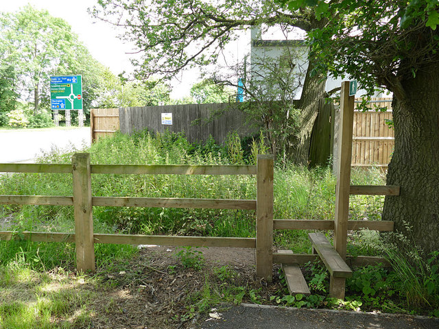
Stile on the edge of new development
Introduction
The photograph on this page of Stile on the edge of new development by Stephen Craven as part of the Geograph project.
The Geograph project started in 2005 with the aim of publishing, organising and preserving representative images for every square kilometre of Great Britain, Ireland and the Isle of Man.
There are currently over 7.5m images from over 14,400 individuals and you can help contribute to the project by visiting https://www.geograph.org.uk

Image: © Stephen Craven Taken: 22 Jun 2019
This is where an existing right of way leaves the new J One Seven development. before the bypass was built, the access to the old town waterworks left Congleton Road at about this point. Beyond the wooden fence is a petrol station with a fairly large Co-Op convenience store which will be the nearest food shop for the large housing estate. The footpath to this point has been tarmac surfaced, but why they have not removed the stile and surfaced the last few metres of footpath beyond the fence to make it a fully accessible route to the shop is beyond me.

