
The Cam at Upware
Introduction
The photograph on this page of The Cam at Upware by Martin Addison as part of the Geograph project.
The Geograph project started in 2005 with the aim of publishing, organising and preserving representative images for every square kilometre of Great Britain, Ireland and the Isle of Man.

There are currently over 7.5m images from over 14,400 individuals and you can help contribute to the project by visiting https://www.geograph.org.uk
The Cam at Upware
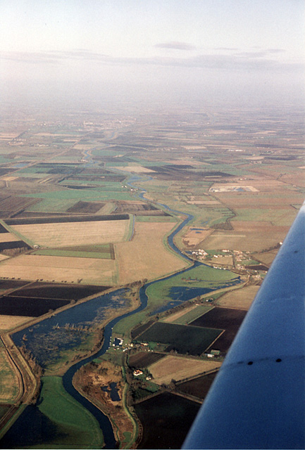
Image: © Martin Addison Taken: 5 Dec 1993
Looking along the River Cam towards Ely - visible in the distance. Upware is just in front of the wing. In the foreground is Ducketts Farm and a small flooded area - popular with wildfowl in the winter. The Cambridge-Ely railway line is visible on the upper left of the photo. The dark nature of the fenland soil is apparent where last year's crops have been ploughed in.
Images are licensed for reuse under creativecommons.org/licenses/by-sa/2.0
Image Location

Latitude
52.307516
Longitude
0.252573