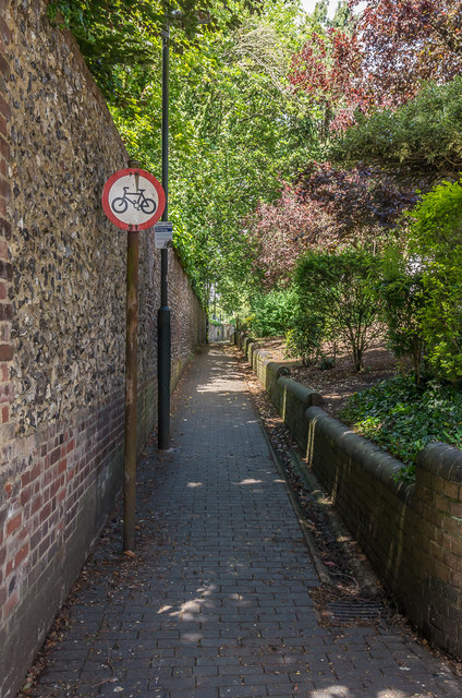
Gombards Alley
Introduction
The photograph on this page of Gombards Alley by Ian Capper as part of the Geograph project.
The Geograph project started in 2005 with the aim of publishing, organising and preserving representative images for every square kilometre of Great Britain, Ireland and the Isle of Man.
There are currently over 7.5m images from over 14,400 individuals and you can help contribute to the project by visiting https://www.geograph.org.uk

Image: © Ian Capper Taken: 8 Jun 2019
Footpath linking Worley Road with Verulam Road, with blue brick paving and a flint and brick wall. The latter was originally the wall of the plot containing Gombards House, a Regency house built in the early 18th Century and demolished in the 1960s for a road scheme that never happened, the site now containing a car park and garages.

