Trees along field boundary near Brayley Bridge
Introduction
The photograph on this page of Trees along field boundary near Brayley Bridge by Derek Harper as part of the Geograph project.
The Geograph project started in 2005 with the aim of publishing, organising and preserving representative images for every square kilometre of Great Britain, Ireland and the Isle of Man.

There are currently over 7.5m images from over 14,400 individuals and you can help contribute to the project by visiting https://www.geograph.org.uk
Trees along field boundary near Brayley Bridge
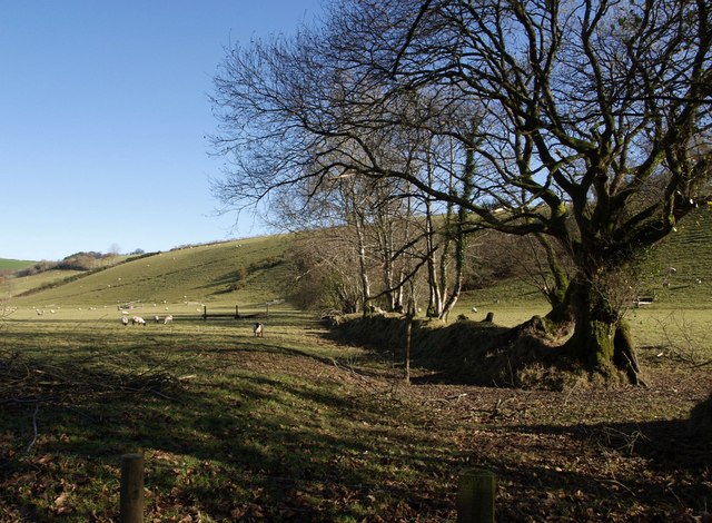
Image: © Derek Harper Taken: 23 Nov 2007
This old bank crosses the floodplain of the River Bray and then swings uphill, but presents little hindrance to the sheep. Seen from the lane below Lower Rapscott Cross, shown on the maps as Litchaton Cross.
Images are licensed for reuse under creativecommons.org/licenses/by-sa/2.0
Image Location


Leaflet Map data © OpenStreetMap
Latitude
51.057267
Longitude
-3.8686