Unnamed side road near Bute Town
Introduction
The photograph on this page of Unnamed side road near Bute Town by Jaggery as part of the Geograph project.
The Geograph project started in 2005 with the aim of publishing, organising and preserving representative images for every square kilometre of Great Britain, Ireland and the Isle of Man.

There are currently over 7.5m images from over 14,400 individuals and you can help contribute to the project by visiting https://www.geograph.org.uk
Unnamed side road near Bute Town
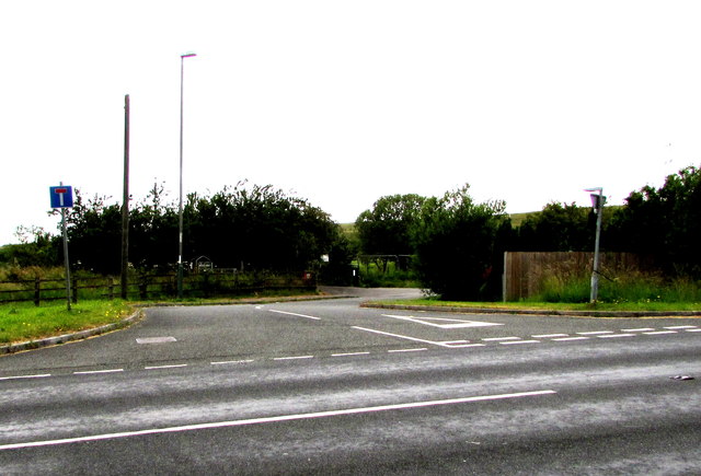
Image: © Jaggery Taken: 11 Jul 2019
From the west side of the A469, the dead-end road leads to Pond Cottage. The road here is about 330 metres (c1,080 feet) above mean sea level.
Images are licensed for reuse under creativecommons.org/licenses/by-sa/2.0
Image Location
Latitude
51.774347
Longitude
-3.301481