At the city end of Arkwright Walk
Introduction
The photograph on this page of At the city end of Arkwright Walk by John Sutton as part of the Geograph project.
The Geograph project started in 2005 with the aim of publishing, organising and preserving representative images for every square kilometre of Great Britain, Ireland and the Isle of Man.

There are currently over 7.5m images from over 14,400 individuals and you can help contribute to the project by visiting https://www.geograph.org.uk
At the city end of Arkwright Walk
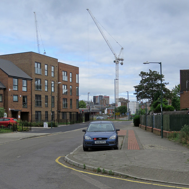
Image: © John Sutton Taken: 1 Jul 2019
The houses on the left have replaced those built in the 1970s when The Meadows was redeveloped and a lot of Victorian slum houses demolished. The cranes are on the former car park site between Sheriffs Way and the railway.
Images are licensed for reuse under creativecommons.org/licenses/by-sa/2.0
Image Location
Latitude
52.944325
Longitude
-1.145617