Boreton Bridge over the Cound Brook
Introduction
The photograph on this page of Boreton Bridge over the Cound Brook by Richard Law as part of the Geograph project.
The Geograph project started in 2005 with the aim of publishing, organising and preserving representative images for every square kilometre of Great Britain, Ireland and the Isle of Man.

There are currently over 7.5m images from over 14,400 individuals and you can help contribute to the project by visiting https://www.geograph.org.uk
Boreton Bridge over the Cound Brook
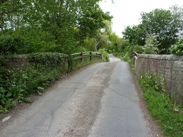
Image: © Richard Law Taken: 27 May 2019
Not as well known, nor as much photographed as the rather older Grade II* listed Image, but noted in its own right for being of the early 19th century (1826) and Grade II listed https://britishlistedbuildings.co.uk/101176929-boreton-bridge-berrington#.XSeDO-hKjcs & https://historicengland.org.uk/listing/the-list/list-entry/1176929 in 1986. Access to the 'interesting' views (ie from the riverside) is rather hard to arrange.
Images are licensed for reuse under creativecommons.org/licenses/by-sa/2.0
Image Location
Latitude
52.656754
Longitude
-2.716662