Sopwell Nunnery Information Board (2)
Introduction
The photograph on this page of Sopwell Nunnery Information Board (2) by David Hillas as part of the Geograph project.
The Geograph project started in 2005 with the aim of publishing, organising and preserving representative images for every square kilometre of Great Britain, Ireland and the Isle of Man.

There are currently over 7.5m images from over 14,400 individuals and you can help contribute to the project by visiting https://www.geograph.org.uk
Sopwell Nunnery Information Board (2)
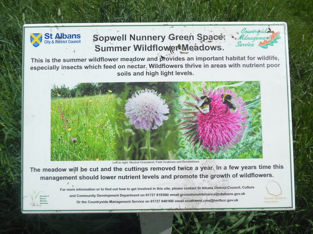
Image: © David Hillas Taken: 30 May 2019
Located on the Abbey Line Trail in Sopwell Nunnery https://www.walkingenglishman.com/ldp/abbeylinetrail.html refers, this board has been erected by St Albans District Council and has the following wording: Sopwell Nunnery Green Space: Summer Wildflower Meadows. This is the summer wildflower meadow and provides an important habitat for wildlife, especially insects which feed on nectar. Wildflowers thrive in areas with nutrient poor soils and high light levels. The images in the middle show the following from left to right: Natural Grassland, Field Scabious and Bumblebees. The meadow will be cut and the cuttings removed twice a year. In a few years time this management should lower nutrient levels and promote the growth of wildflowers.
Images are licensed for reuse under creativecommons.org/licenses/by-sa/2.0
Image Location
Latitude
51.745493
Longitude
-0.335385