High Street, Wookey
Introduction
The photograph on this page of High Street, Wookey by Chris Brown as part of the Geograph project.
The Geograph project started in 2005 with the aim of publishing, organising and preserving representative images for every square kilometre of Great Britain, Ireland and the Isle of Man.

There are currently over 7.5m images from over 14,400 individuals and you can help contribute to the project by visiting https://www.geograph.org.uk
High Street, Wookey
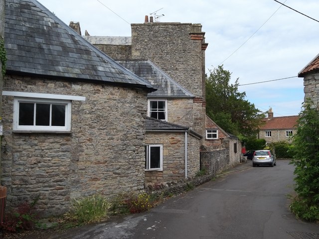
Image: © Chris Brown Taken: 9 Jul 2019
Seen from in front of the north lychgate to St Matthew's churchyard. The jumble of buildings in the foreground are outbuildings of the tall house beyond, Mellifont Abbey.
Images are licensed for reuse under creativecommons.org/licenses/by-sa/2.0
Image Location


Leaflet Map data © OpenStreetMap
Latitude
51.209541
Longitude
-2.691242