Bench mark on a stream bridge in Padeswood Lake Road
Introduction
The photograph on this page of Bench mark on a stream bridge in Padeswood Lake Road by John S Turner as part of the Geograph project.
The Geograph project started in 2005 with the aim of publishing, organising and preserving representative images for every square kilometre of Great Britain, Ireland and the Isle of Man.

There are currently over 7.5m images from over 14,400 individuals and you can help contribute to the project by visiting https://www.geograph.org.uk
Bench mark on a stream bridge in Padeswood Lake Road
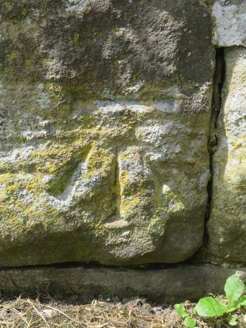
Image: © John S Turner Taken: 10 Jul 2019
This Ordnance Survey bench mark is on the west parapet of a bridge over the stream feeding Padeswood Pool. For a wider view see: Image
Images are licensed for reuse under creativecommons.org/licenses/by-sa/2.0
Image Location
Latitude
53.15083
Longitude
-3.083589