Holmwood, The Street
Introduction
The photograph on this page of Holmwood, The Street by John Baker as part of the Geograph project.
The Geograph project started in 2005 with the aim of publishing, organising and preserving representative images for every square kilometre of Great Britain, Ireland and the Isle of Man.

There are currently over 7.5m images from over 14,400 individuals and you can help contribute to the project by visiting https://www.geograph.org.uk
Holmwood, The Street
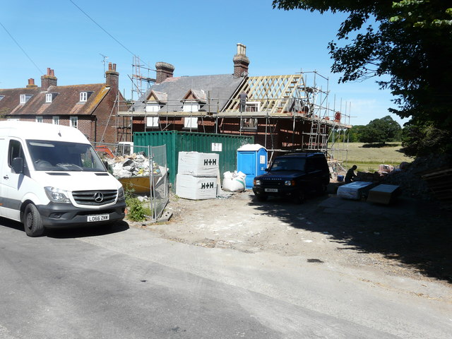
Image: © John Baker Taken: 4 Jul 2019
Planning permission has been granted by Canterbury City Council under application number CA//18/01245 “for a “proposed two-storey side and rear extensions, single-storey rear extension and detached two-storey garage”. This was Image in April 2020.
Images are licensed for reuse under creativecommons.org/licenses/by-sa/2.0
Image Location
Latitude
51.20758
Longitude
1.159942